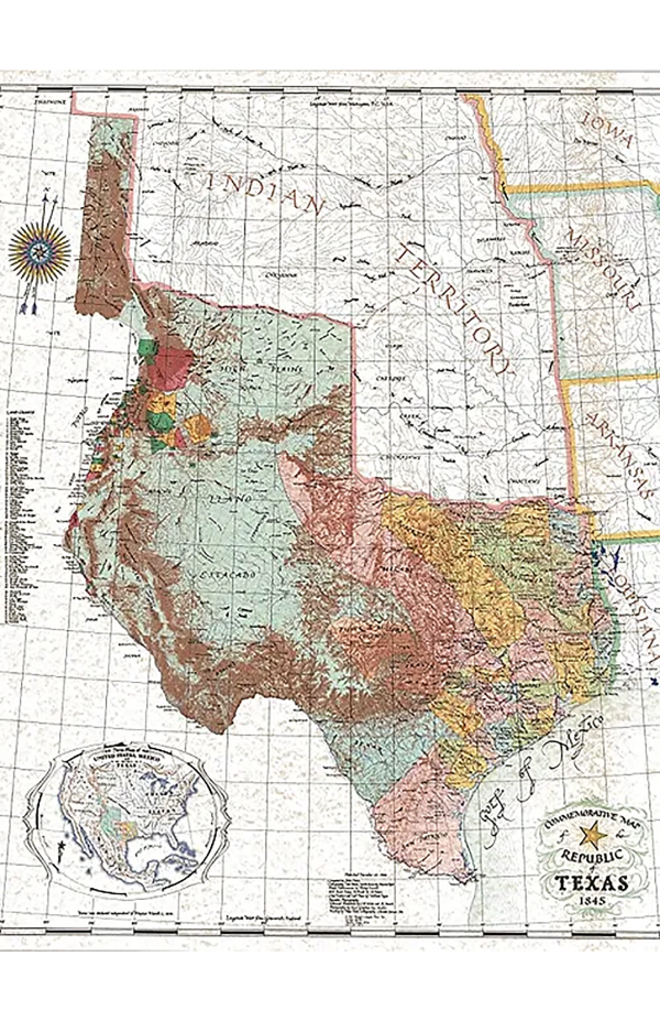
Republic of Texas 1845 Map by John Davis
A4N3531
$ 45.00
Description This well known, iconic, historical map of Texas was created by Texas artist and master cartographer John Davis to commemorate the 150th anniversary of the Texas Revolution. Hand drawn and exquisitely colored, it became a classic for its unparalleled drama, accuracy, and beauty. Depicting the Republic of Texas as it was in 1845, just before its annexation by the United States, this map renders the original 36 counties of Texas, the 78 Spanish land grants along the Rio Grande (present day New Mexico), and the vast region claimed by Texas from the Mexican border through present day Wyoming. Davis’s study of the Santa Fe Trail has been hailed as the most accurate ever published, attesting to the artists scholarship as well as fine art. Davis maps have become the favorite of governors, celebrities, and transplanted Texans everywhere. Printed on a 26″ W x 31.5″ H sheet of sturdy, art-gallery quality parchment stock it is especially suitable for framing.
matomymarket has a highly developed production and shipping system and we make every effort to ship your order in a fast and efficient manner.

100% Genuine Product

Top Brand

Assured Best Price

Customer Support

Secure Transaction

Non-Returnable
Related products
-
 Phonic Books RescueAdd To List
This product has multiple variants. The options may be chosen on the product page
Phonic Books RescueAdd To List
This product has multiple variants. The options may be chosen on the product page
-
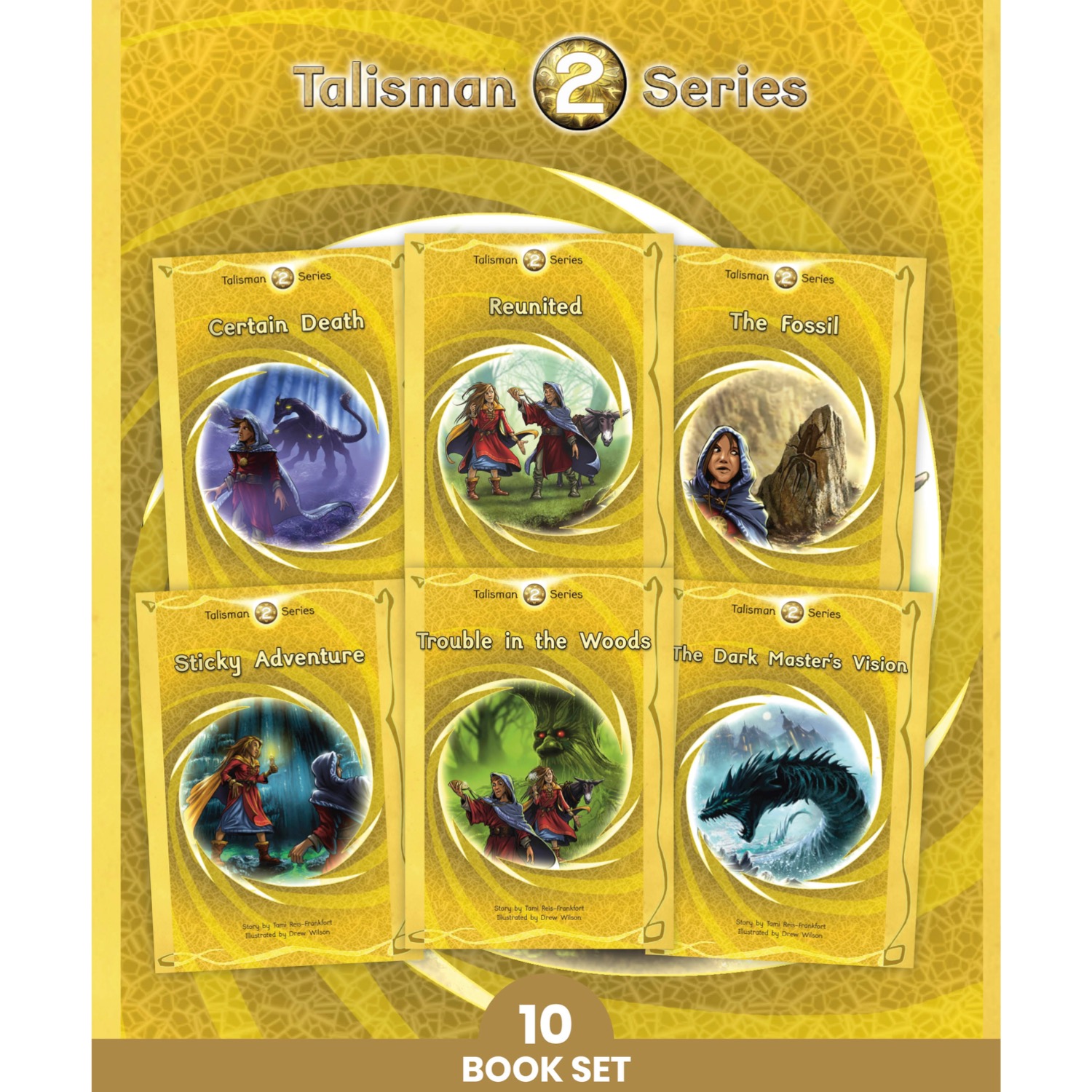 Phonic Books Talisman 2Add To List
This product has multiple variants. The options may be chosen on the product page
Phonic Books Talisman 2Add To List
This product has multiple variants. The options may be chosen on the product page
-
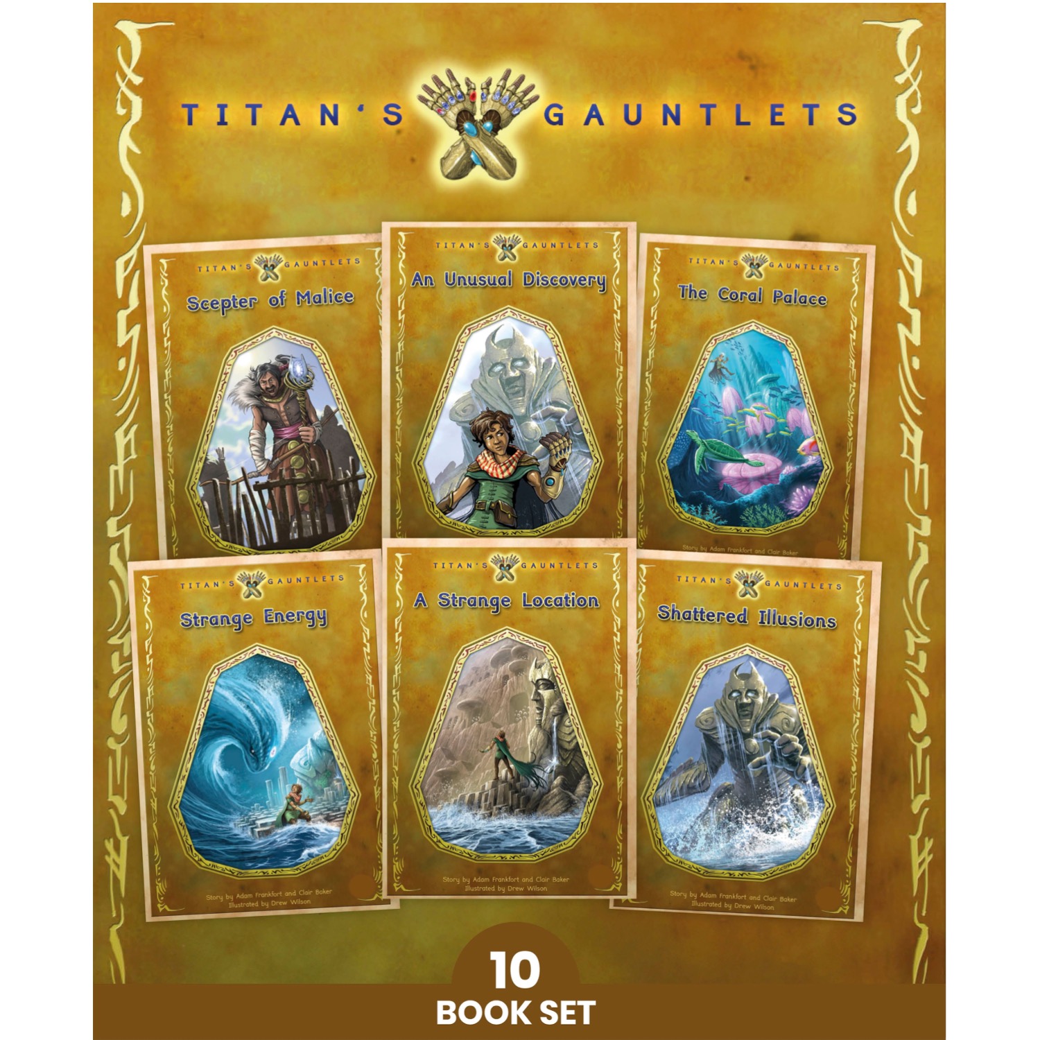 Phonic Books Titan’s GauntletsAdd To List
This product has multiple variants. The options may be chosen on the product page
Phonic Books Titan’s GauntletsAdd To List
This product has multiple variants. The options may be chosen on the product page
-
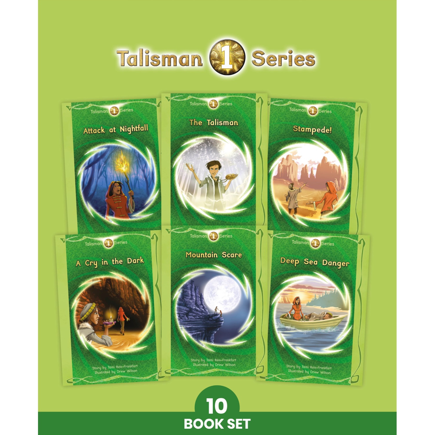 Phonic Books Talisman 1Add To List
This product has multiple variants. The options may be chosen on the product page
Phonic Books Talisman 1Add To List
This product has multiple variants. The options may be chosen on the product page